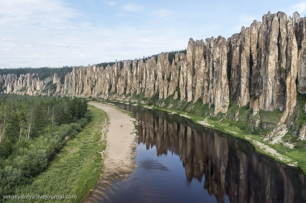
Mount Tamborine is the remnants of the edge of a shield volcano. In 2012 I found this more resistant bit, or possible dyke on the side of the road and had to stop and pose with it. I know nothing of the local geology except Brisbane area is one giant volcano (possibly hotspot related) and as a result they appear to have ignimbrite as their paving stone of choice (Melbourne uses Basalt - what does your city use?). It's on the side of a road around -27.909855, 153.181835.

Further down the road at Ceder Creek Falls,
-27.894321, 153.185086. It's hard to take a selfie AND capture what looks like a contact between lava flow and ignimbrite (on the right)
Large clast in the ignimbrite with bracelet for scale - no compass, no geopick, no handlense and no scale bar, what sort of holidaying geologist am I?
Late stage faulting with quartz/calcite? infill - where's your hardness kit when you need it?

And finally what we came here for - Ceder Creek Falls looking down at the main pond. This is the best shot - I got everything else came out blurred. I suspect this'd be a lovely place to swim in summer.


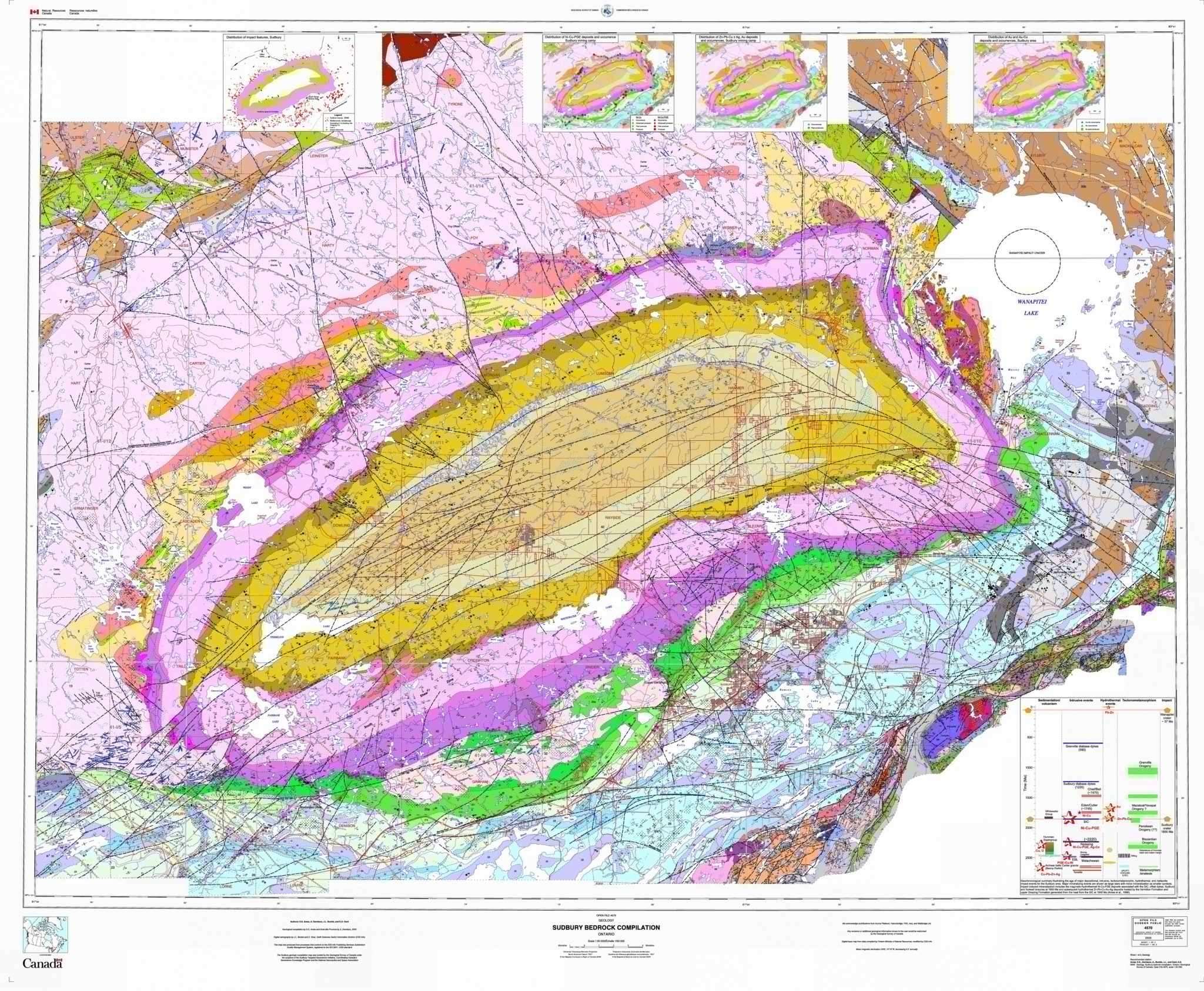 A well studied area due to to mineralisation - every one likes a geological map. Image hosted by the University of Western Ontario


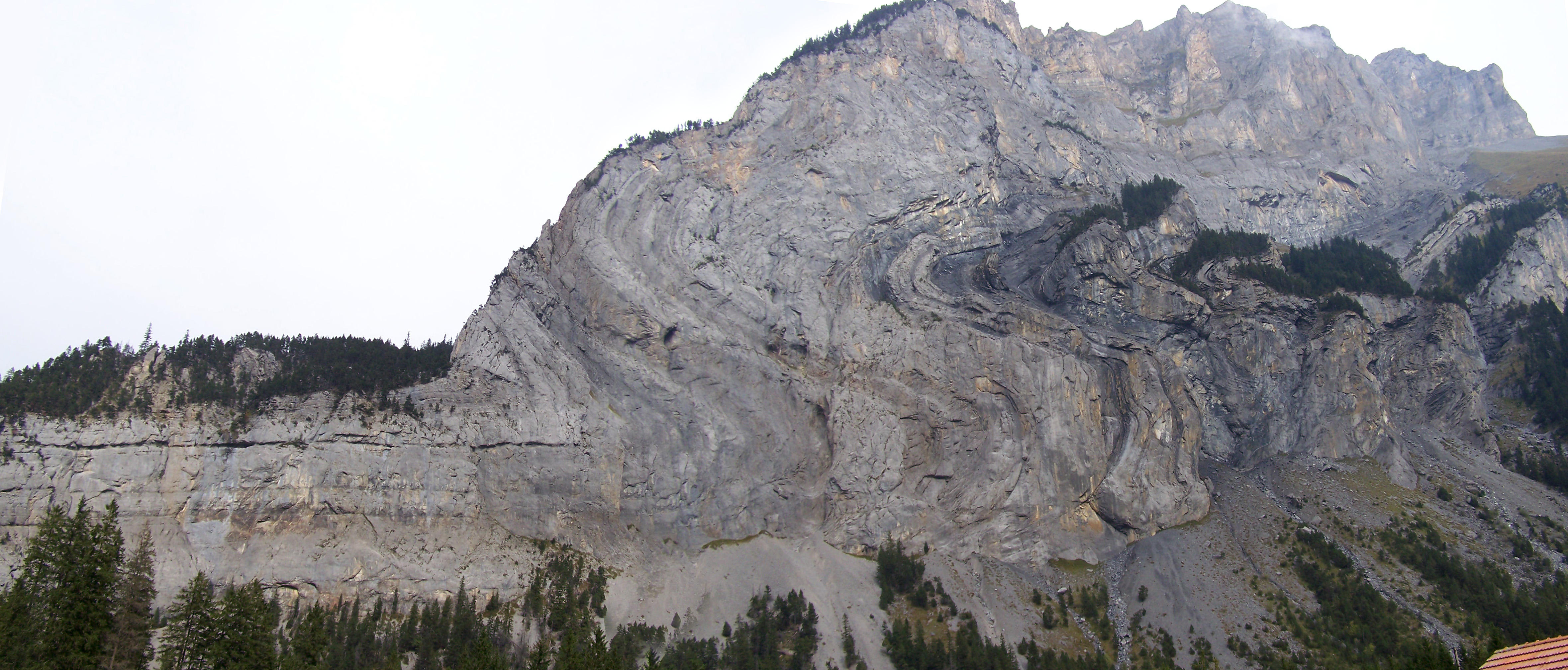
 In some sections of the pod, cross beds can be seen.


